A storm expected to bring up to 10 cm of snow to the southwest interior and the Kootenays has shifted north.
Environment Canada cancelled the special weather statement for the Similkameen, Central and South Okanagan early this morning. In its place, a snowfall warning was issued for the North Okanagan, including Vernon, predicting a long period of heavy snowfall.
A Pacific frontal system will move across the BC interior today producing heavy snowfall over the Columbias, North Okanagan and Shuswap. As the front stalls tonight, heavy snow will continue over the Columbias and Shuswap while lesser accumulations can be expected over the North Okanagan.
Total snowfall amount of 10 to 15 cm is expected over North Okanagan by tonight. For the Columbias and Shuswap region, 15 to 30 cm of snow can be expected by Monday.
DriveBC indicates compact snow with slushy sections along the Coquihalla and the Okanagan Connector Highway 1 has compact Snow with slippery sections from the Hwy. 97 junction in Monte Creek to Sorrento and from 11 km west of Sicamous to Craigellachie.
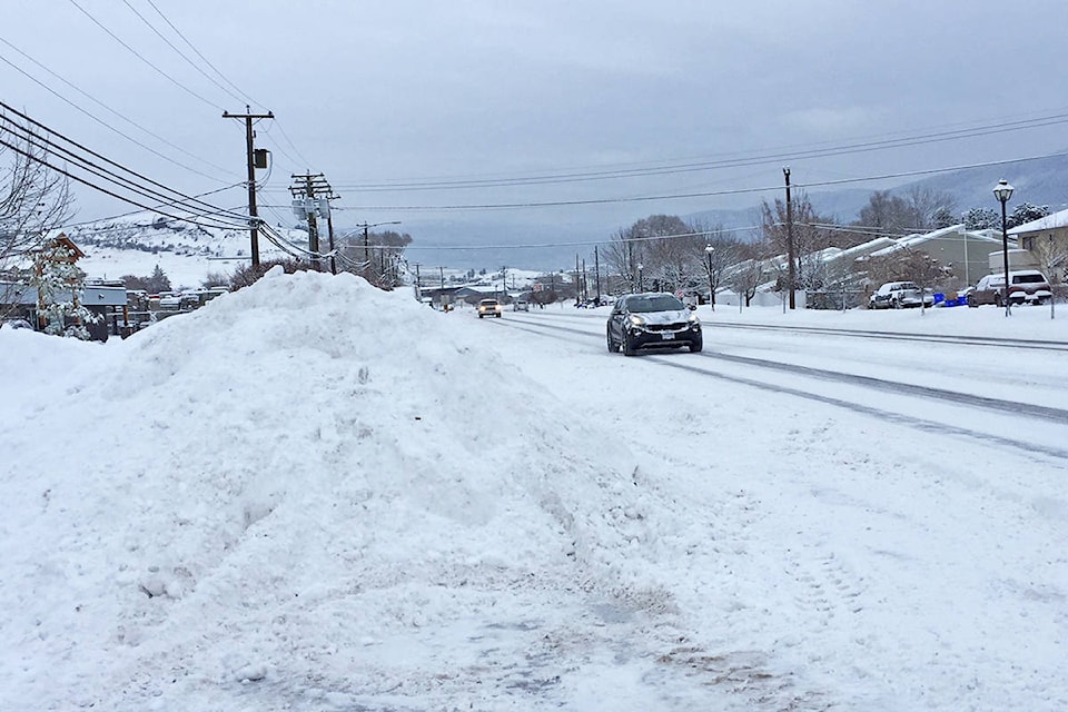
Prepare for quickly changing and deteriorating travel conditions. Surfaces such as highways, roads, walkways and parking lots may become difficult to navigate due to accumulating snow.
To report severe weather, send an email to ec.tempetepacifique-pacificstorm.ec@canada.ca or tweet reports using #BCStorm.