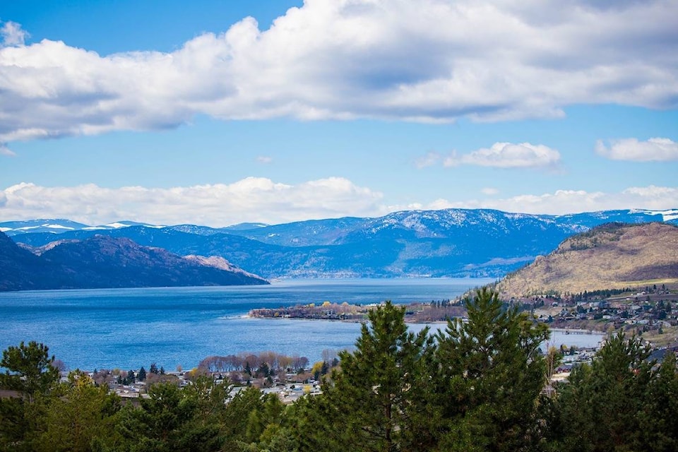
The sun is shining and the sky is blue in the Okanagan for the first Monday in, well, way too many Mondays.
When the rain began to fall Sunday morning, residents in the valley were celebrating the change in weather and reprieve from smoke.
However, even with the first deep breath of seemingly fresh air, a Smoky Skies Bulletin remains in effect.
Environment Canada meteorologist Armel Castellan says we are not out of the smoke yet, but the days of consecutive cough-inducing 10-plus days on the Air Quality Health Index may be done.
“The Air Quality Health Index is favourable today, but we are forecasting it to move back into the moderate level or a four out of 10,” he explains.
“We are not out of the woods yet. If you are just downwind from the fires, if the wind pattern is just right, you will see worse air quality again.”
Related: Veil of smoke lifted from the Okanagan, Shuswap
While Sunday felt almost too cold for August, Castellan says the rest of the week will be just below or at average.
“The average for Kelowna area is 24 C highs and 10 C lows so those temperatures won’t be reached today, but tomorrow we are projecting 24 C. So, that is right bang on seasonal,” says Castellan, who adds the clouds moving into the region will also keep the overnight temperature above average.
Sunshine and temperatures in the lower 20s are expected for the rest of the week with a chance of showers Monday evening and more on Wednesday and Thursday.
“The storms will be moving so not one location will see record-setting amounts of rain. This is good as it prevents things like landslides and localized flooding,” says Castellan. “The short-term hope throughout B.C. is that Wednesday and Thursday materializes into appreciable rain quantities which will give a reprieve for the wildfire fighting efforts.”
Related: Rainfall, cooler temperatures bring some relief in wildfire-ravaged B.C.
After the storm passes, the weather should warm back up to average end-of-August temperatures in the mid 20s.
As the end of August nears Castellan says meteorologists are going to be looking at how August stacks up year over and year and how the summer season (June to August) turned out in terms of average temperature, precipitation etc.
“It is nice to have context to see how a season or a month will rate to previous times,” says Castellan, who notes a quick glance at the numbers shows a hotter and dryer month than normal.
“For the Kelowna area there was eight millimetres of rain for the entire month, four millimetres of which was yesterday. It was a very dry month,” adds Castellan.
While Kelowna has remained at a Level 2 drought, he add that nearby regions are at a Level 3 and Vancouver Island hit a Level 4 this year, the highest level.
“That is worrisome obviously on a provincial level,” says Castellan.
“This is the fourth year of drought in a row so it has definitely been very dry and warmer than normal.”
The Smoky Skies Bulletin remains in effect for the majority of the province.
To report a typo, email:
newstips@kelownacapnews.com.
@carmenweld
carmen.weld@bpdigital.ca
Like us on Facebook and follow us on Twitter.