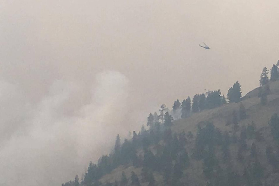
The smoke has lifted enough for air support to again work on the Snowy Mountain fire which has crested the iconic K-Mountain and is coming down slope in several places just south of Keremeos.
At least two helicopters were actioning the fire mid day Monday and eight firefighters were doing ground operations.
Related: More smoggy air for the Okanagan
Steve Kada, fire information officer for BC Wildfire, said residents would have seen an increase in fire activity overnight Sunday.
“Last night we did receive a number of calls on the fire. That’s the issue, people think of it as being held that in their mind it’s all good and we have a night where it’s very visible and people start to panic. There’s no need to panic but we don’t want people to be complacent either,” he said.
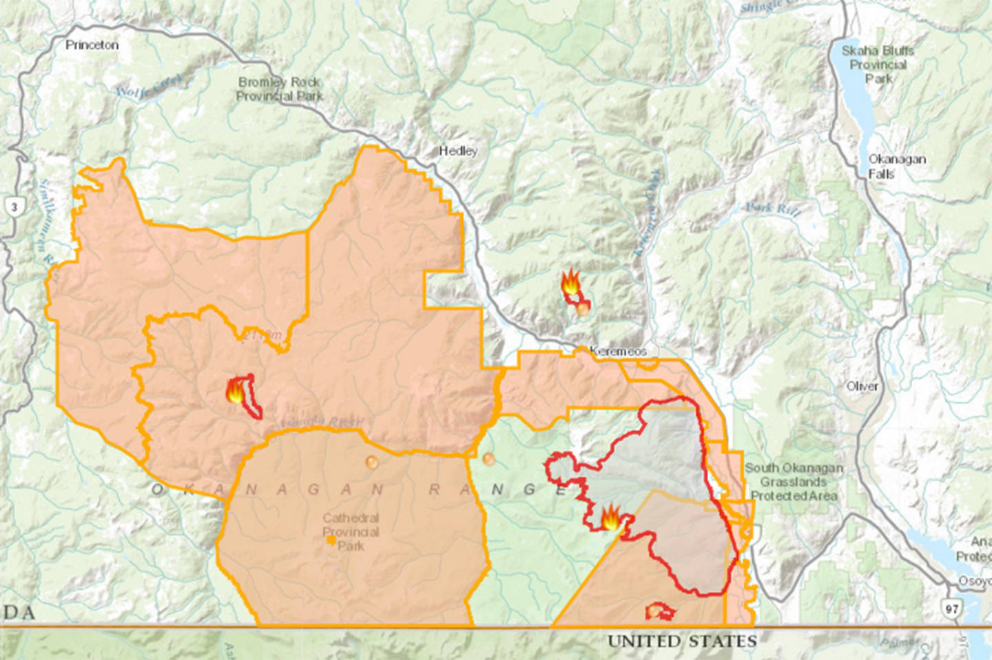
| A photo of the interactive map provided by BC Wildfire. The areas in yellow indicate properties currently on evacuation alert, or Crown Land where use is prohibited because of wildfire. The red zone on the left is Cool Creek fire, the large red zone on the right is Snowy Mountain fire and the remaining red zone is the Old Tom Creek fire near Olalla. This map is dated Aug. 20, 2018. (BC Wildfire) |
“There is a primary plan, alternate plans, contingency plans… a whole myriad of plans. At no point do we sit there and say, ‘oh, let’s see what happens.”
An evacuation alert was issued Saturday for 82 properties from the south/southwest side of Highway 3 extending from 10th Ave in west rural Keremeos, to the eastern boundary of the Lower Similkameen Indian Band (LSIB) land.
Related: Evacuation alerts in place for south of Keremeos, Hedley and Princeton
“We’ve identified containment lines and we’re working to make sure the fire doesn’t cross those lines and if they do we will take steps to deal that,” Kada said.
There is no immediate risk to structures or change in evacuation alerts since the weekend.
In addition to the containment lines being made by BC Wildfire, a number of properties in the evacuation alert zone include irrigated hayfields, orchards, a gravel pit, and steep slopes with low fuel load.
Many properties have sprinklers running and on Monday, several hayfields were being cut. River Road acts as a fire break as does the Similkameen River.
Crews on Monday worked to ensure the control line in the Barrington Drainage, behind the Barrington Ranch south of the rodeo grounds. Firefighters will be working on hoses and sprinkler system in that area as well as fighting the fire on the ground with tools to stop it near the valley bottom.
“The steep terrain is inoperable in some areas, and poses a safety risk to firefighting personnel. Crews are being strategically placed where it is safe and where suppression objectives can be met,” a B.C. Wildfire Service update stated.
Related: Fire burning near Olalla still out of control
Three wildfires of note are burning in the vicinity of Keremeos. Snowy Mountain is the closest, but the Old Tom Creek fire is burning about seven kilometres west of Olalla and is currently listed as out of control at 144 hectares in size. The Cool Creek fire is burning about 20 kilometres east of Eastgate and is estimated at 6,000 hectares in size and is listed as out of control.
Check back for updates.