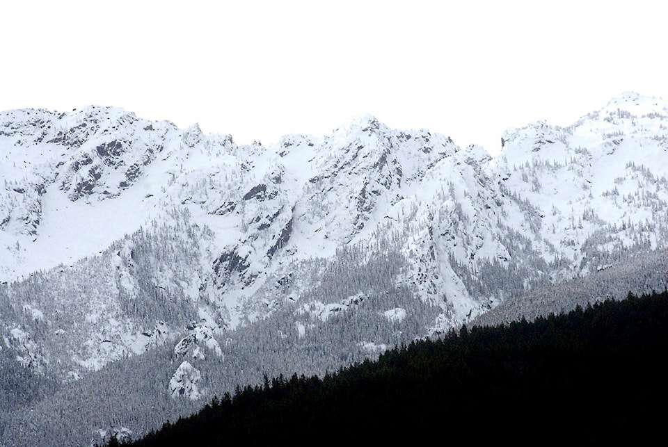
Dry weather throughout March contributed to modest snowpack accumulation in the Okanagan.
According to an April report by the River Forecast Centre, the Okanagan’s snowpack increased from 115 per cent of normal to 116 per cent since March 1. That’s still a decrease from February when the snowpack was 129 per cent.
At 116 per cent, the Okanagan’s snowpack is still considered ‘moderately high’ but it is not listed among the regions with increased seasonal flood risk. Those regions include Upper Fraser West, Upper Fraser East, North Thompson, South Thompson, West Kootenay, Boundary, Cariboo Mountains, Central Coast and Skagit.
Typically, the provincial snowpack reaches its maximum level in mid-April and significant changes to the current snowpack are not expected, stated the report. However, continued cool weather can lead to a delay in the snowmelt season and lead to increased seasonal flood risks.
READ MORE: Okanagan real estate market stable; bracing for slowdown due to COVID-19
@michaelrdrguez
michael.rodriguez@kelownacapnews.com
Like us on Facebook and follow us on Twitter.