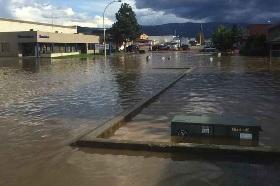
The potential worst for flooding is still yet to arrive across the Okanagan Valley, according to the BC River Forecast Centre.
David Campbell, head of the River Forecast Centre, said a recent spring heat wave has accelerated the freshet snowmelt at the mid-elevation level range from 1,000 to 1,500 metres.
But the higher elevation snowpack above 1,500 metres has yet to begin making its freshet impact on spring river and creek flows across the valley.
Related: Rising groundwater aggravates Okanagan flood concerns
“I think we would characterize the situation now is where we have seen flooding occur, we are cautiously optimistic those levels have peaked with the mid-elevation snowmelt and those areas will start to level off,” Campbell said.
“In the mid-elevation levels, we are seeing a half to a third of the snow having melted and it’s been quite rapid over the last seven to 10 days.”
At the higher elevations, Campbell noted the snowpack has actually increased from April 1 to May 1.
“Seeing those snowpack levels rise is creating a significant flood risk for the southern half of the province,” he said.
Campbell said Mission Creek is leading indicator of the higher elevation snowmelt progress, something he says won’t show up in the creek’s water flow until next week at the earliest.
Campbell said Mission Creek’s current flow level is 35 cubic metres a second. As a comparison, Campbell said in 2013 at this time, the flow level was 120 cubic metres a second while the average peak flow is 60 cubic metres a second.
“I could see Mission Creek reading that average peak flow level at some point next week,” he said.
Shaun Reimer, provincial head of public safety and protection for the Thompson Okanagan region, said he is monitoring closely the flooding situation along the Okanagan River south of the Okanagan Lake discharge dam.
“How quickly those tributary flows rise into Okanagan River is something we always have to deal with and monitor carefully,” said Reimer.
Reimer said the aggressive dam downstream water release initiative began in January in anticipation of a huge freshet impact on the lake water level.
“If necessary we can back off those outflows on a temporary basis if we see those tributaries peaking,” he said. “When they recede, that is an indicator we can go back to our increased outflows.”
The River Forecast Centre is expected to give a statistical public update Monday on the higher elevation snowpack levels.
To report a typo, email: edit@kelownacapnews.com.
<>@BarryGerding
barry.gerding@blackpress.ca
Like us on Facebook and follow us on Twitter.