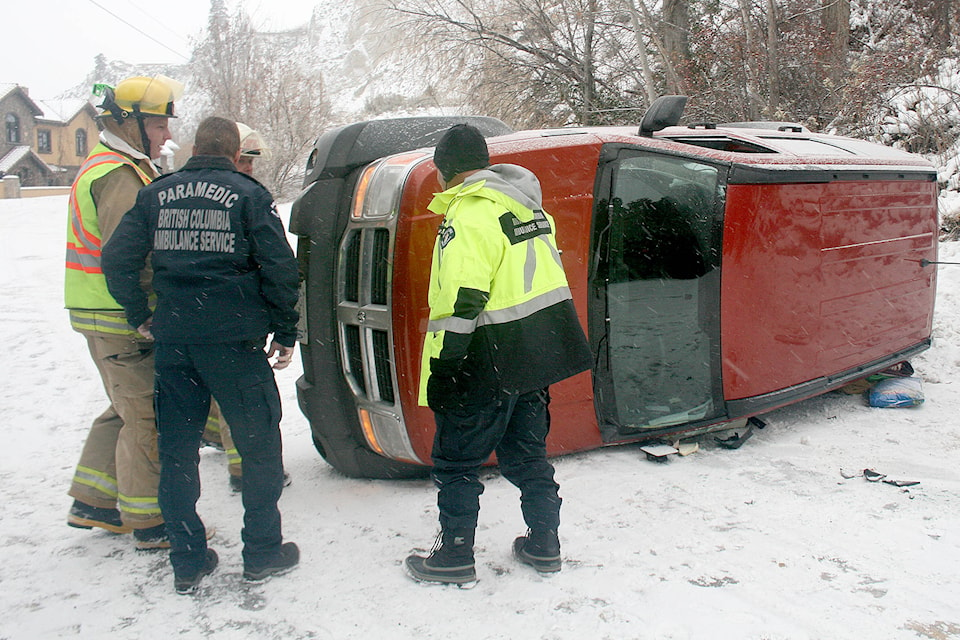
One thing is sure: Penticton’s snow plows got good use this month.
Though the Penticton and South Okanagan didn’t receive the same kind of snow dump Environment Canada expected Wednesday night, moving into Thursday, the weather watchers still had five to 10 centimetres pegged for during the day on Friday in Penticton and five cm for the evening, which would make it the third major snowfall of the month.
Related: Airlines battling elements at Penticton airport
For the most part, the weather system that brought the snow earlier Thursday and overnight on Wednesday was cordoned off to the north and central Okanagan regions, which got a far larger dump of snow than the two to four centimetres Penticton got.
“Going into tomorrow, though, we do see another system coming in, likely beginning, could be as early as late morning, or more likely early afternoon, another five centimetres during the day from that system,” said Allan Coldwells from Environment Canada.
Related: Snowfall warnings issued around B.C.
“Then potentially another five centimetres in the overnight period before Saturday morning, when it finally starts to taper off, and that whole system that’s been bringing all this moisture will finally push south of the border and we should see some gradual clearing later Saturday night.”
That makes the third major dump for the month, which isn’t all that common for the area, but Coldwells said the snowfall is far from any record — on Dec. 11, 1927 Kelowna received 40.6 cm of snow in one day.
Moving into the weekend and early next week, Coldwells said the Okanagan should expect to exchange the snow for the cold, as a new weather system brings clear skies and daily highs of about -10 C.