Work carried out by City of Penticton’s team responsible for implementing the road Geographic Information System was recently selected by Esri Canada as the recipient of a 2018 award of excellence for managing local road networks effectively with GIS.
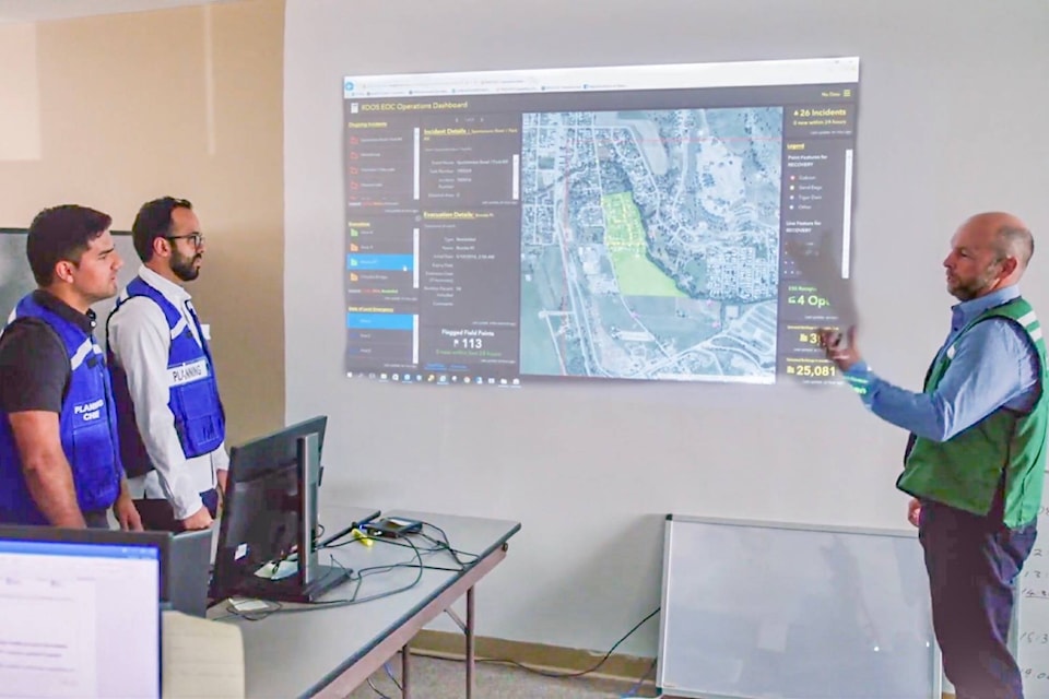
GIS is an advanced mapping system used by the city, which not only maps city streets but detailed information about city infrastructure, from storm sewers to bike lanes.
“The award was an acknowledgement of the work we’ve done to simplify our process,” said Dave Polvere, the city’s IT manager. “We can now access and visualize our data in a single format that can easily be shared across the organization.”
The recognition aligns with a variety of changes being made to the city’s GIS function and the value it provides residents like the recently completed Geospatial Strategic Plan.
Initiated in 2017 and completed later that year, the plan is a five-year approach encompassing resourcing, governance, training, education, infrastructure, software and public access.
“There is a clear need to ensure staff and other users of geospatial tools and data are trained, educated and supported,” said Polvere. “This strategy identifies approaches that will ultimately help the city grow and better utilize this technology.”
Related: New system improves access to City of Penticton data
Members of the public wishing to review the strategy and learn how GIS supports the city can do so through the City of Penticton’s website or via the city’s Youtube channel.
Steve Kidd
Senior reporter, Penticton Western News
Email me or message me on Facebook
Follow us on Facebook | Twitter | Instagram