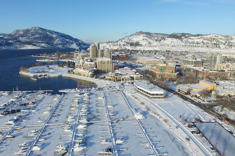
It’s about to get warm and wet in the Okanagan and Shuswap this week.
Environment Canada is forecasting light flurries for Tuesday afternoon turning to rain showers in the evening. Overnight up to 2 centimetres of snow could fall in the Central and North Okanagan.
In the Shuswap expect the weather to be much damper than the Okanagan Valley.
Doug Lundquist, metrologist with Environment Canada, says the sunshine could return Wednesday and Thursday morning with scattered cloud throughout the day.
“Thursday is the day we could significant rain out of the next seven days, but it is also forecast to warm up to the high single digits — about 8 to 9 C,” said Lundquist.
However it could still be cool enough for snow to fall in the region overnight.
A snowfall warning is in effect for the Coquihalla Highway, where 5 to 10 cm is expected.
The low pressure system anticipated for the interior has already hit the Lower Mainland as a cold, moist and unstable flow of air originating from the Gulf of Alaska continues to produce bands of snow over the south coast.
If you’re headed out onto the highways be sure to check DriveBC for changing road conditions, as flurries and heavy rain are expected over the next 24 to 48 hours in higher mountain passes.
Send us your weather photos and video, by clicking the Contact button at the top of the Home Page.