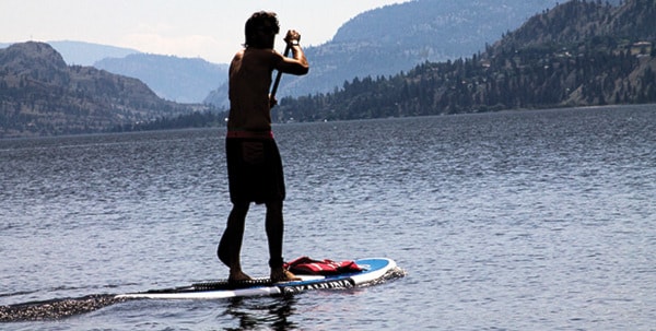
The record setting heat wave hitting the Okanagan may be gone before the weekend.
“We still have a couple hot days in store,” said Lisa Coldwells, meteorologist with Environment Canada.
A new record was set in Penticton on Monday with temperatures reaching 36.7 degrees Celsius.
“That melted the old record of 32.5, which was set in 2003,” Coldwells said.
In total there were 14 records broken on Monday throughout the Okanagan, the West Kootenays and in Salmon Arm.
The weather is on average about 12 degrees above normal due to a large amount of high pressure deflecting Pacific storms off the coast of B.C. and up into Alaska, allowing the southern desert heat to sneak in from places like northern Nevada.
Coldwells said the temperature in Penticton is expected to stay 30 degrees or higher until the end of the week.
“They are going to be close to records, so we’re going to wait and see if it’s actually going to beat them,” she said.
However, those planning a beach trip on the weekend may be disappointed.
“There’s a marked change in the weather coming, and that will be Friday,” Coldwells said.
A dry cold front coming down from the Caribou overnight Thursday is estimated to reach Penticton by Friday morning. The cold air will bring some wind and clouds with it, dropping temperatures to an estimated 21 degrees Celsius.
“We’re not expecting a lot of showers or precipitation with it, it’s just going to be mainly unsettled and lots of clouds, maybe a couple of showers on the ridges and temperatures in the low 20s,” Coldwells said.
With the sun at its highest point in June, Coldwells is advising those spending time outside to wear sunscreen and protect yourself from dehydration.
“If it’s hot like this make sure you stay well hydrated if you’re working outside and wear a hat,” Coldwells said.