It appears Old Man Winter has yet to go on his seasonal vacation to Peru.
An intense cold front is expected to cross the B.C. interior on Sunday (March 28), causing Environment Canada to issue a weather warning from Eagle Pass to Rogers Pass, along Highway 1 through Revelstoke.
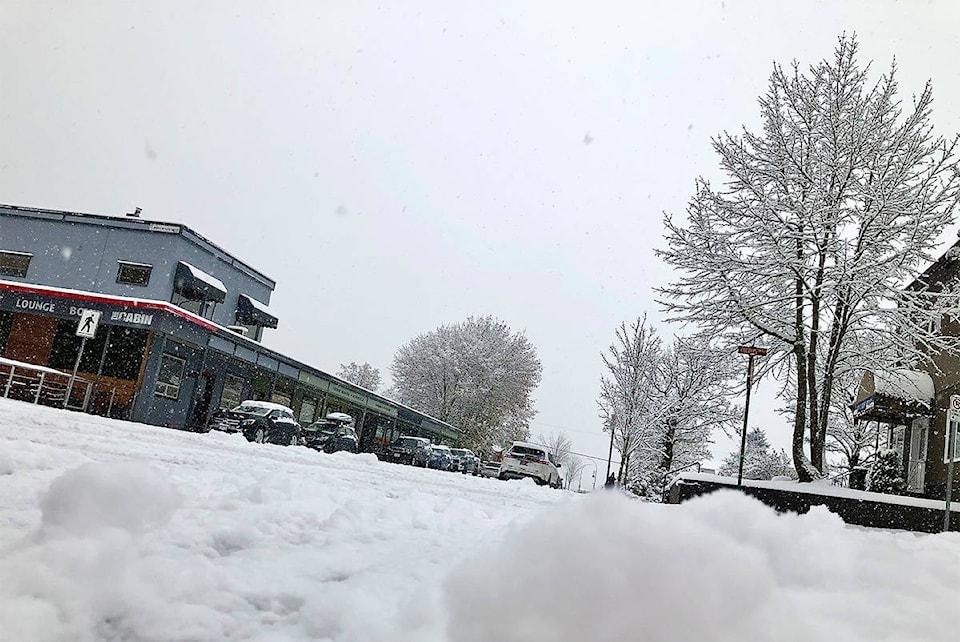
READ MORE: It’s spring and Revelstoke has 90% less snow than last year
Snow is expected to begin tonight at higher elevations. Revelstoke is forecasted to receive 10 mm of rain, while Rogers Pass might get up to 20 cm of snow.
Blustery winds are also expected to reduce visibility.
As temperatures drop, snow levels may plunge to valley bottoms by Sunday evening.
Avalanche conditions are expected to increase to high hazard by Monday in the Revelstoke area.
There will be avalanche control work east of Revelstoke over Rogers Pass, starting from 2 p.m. on March 28 and ending approximately by midnight. Expect individual closures of up to two hours.
READ MORE: Have you VOTED for the best ski run in Revelstoke?
Do you have something to add to this story, or something else we should report on? Email:
liam.harrap@revelstokereview.com
@pointypeak701
liam.harrap@revelstokereview.com
Like us on Facebook and follow us on Twitter.