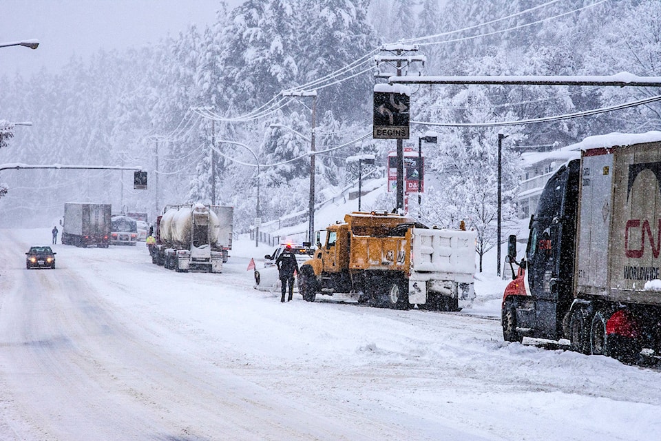
A snowstorm is expected this morning along the Trans-Canada Highway from Eagle Pass to Rogers Pass.
An intense Pacific frontal system over northern BC will move southward Wednesday morning and then stall across the southern half of the province in the afternoon. Snow will intensify in the morning over an area stretching from the Yellowhead down across the North Columbia and into the West Columbia region, according to Environment Canada in a weather statement. A snowstorm warning is also in effect for the Yellowhead Highway, from Tête Jaune Cache to the Alberta Border.
The front is expected to remain stalled across the area until Thursday evening resulting in an extended period of snow at times heavy. Storm total snowfall accumulations will range from 25 cm over the Yellowhead up to 35 cm over the North and West Columbia and Rogers Pass, the statement said.
Rapidly accumulating snow could make travel difficult over some locations. Prepare for quickly changing and deteriorating travel conditions. Visibility may be suddenly reduced at times in heavy snow.
Weather in the mountains can change suddenly resulting in hazardous driving conditions.
ShiftIntoWinter.ca reminds drivers to know before you go. Adjust to winter driving behaviour and use winter tires and chains.
Road conditions are available at www.drivebc.ca.
Please continue to monitor alerts and forecasts issued by Environment Canada. To report severe weather, send an email to BCstorm@canada.ca or tweet reports using #BCStorm.
edit@kelownacapnews.com
Like us on Facebook and follow us on Twitter.