A special weather statement is in effect for the entire Okanagan, including the Okanagan Connector from Merritt to Kelowna.
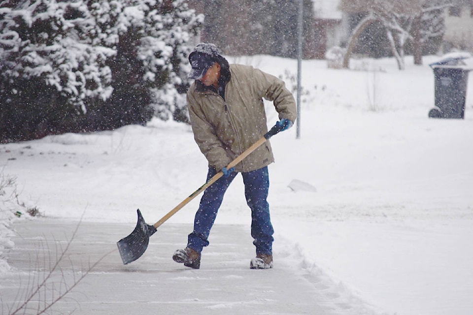
An early-season snowfall is expected over Thursday night (Oct. 22) as seasonal temperatures continue to drop over the weekend. According to Environment Canada, the Okanagan could see as much as 10 centimetres of snow by Friday afternoon with temperatures dropping to around 2 degrees.
The snow isn’t expected to last for long, however. Environment Canada meteorologist Doug Lundquist said the blast of arctic air should be a “temporary hiccup.” Environment Canada forecasts that temperatures will be back to seasonal averages by early next week.
Although the snow isn’t expected to stick around long, Lundquist said Okanagan drivers should have their vehicles ready for winter conditions.
“Let’s not assume the snow won’t come heavy enough or fast enough that it will melt right away,” he said.
READ MORE: Soup sale helps benefit YMCA of the Okanagan
READ MORE: Kelowna photographer in the spotlight after winning big