Environment Canada has issued a special weather statement for the Okanagan and Shuswap as strong wind gusts are expected early this evening.
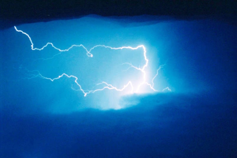
According to Environment Canada a cold front is approaching the B.C. coast and it is expected to sweep over the Southern Interior early this evening. The weather system is expected to bring brief but strong gusts of wind as well as isolated thunderstorms.
Read More: Shuswap tourism businesses brace for COVID-19’s effects on summer season
Read More: Okanagan cooler and drier than average in April
Winds will be strongest in the Southern Okanagan Valley including Penticton where gusts from the west are expected to reach 80 km/h. Brief, heavy downpours and isolated thunderstorms are also a possibility.
Gusts in the North Okanagan and Shuswap are expected to come from the southwest and will reach 60 to 70 km/h.
The vigorous cold front is expected to drop flurries on the high-elevation highway routes in the Southern Interior including the Okanagan connector.
Read More: Privacy watchdogs concerned about apps tracking COVID-19 patients
Read More: COVID-19: B.C. halfway to goal of single-site jobs for care home staff
jim.elliot@saobserver.net
Like us on Facebook and follow us on Twitter