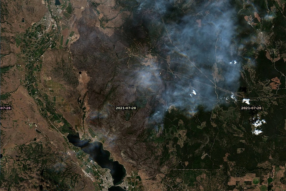
BC Wildfire’s best guess on the current size of the Nk’Mip Creek Wildfire is more than 13,000 hectares.
The last accurate reading BC Wildfire estimated the blaze at 6,800 hectares on July 22. Since then, heavy smoke has made mapping the fire difficult as it continued to grow.
They are hoping to get an overnight infrared flight for an accurate map and locations of any hot spots.
The heavy smoke also made use of air support more difficult, particularly for the air tankers.
“We are anticipating the smoke to start to clear off around 11 a.m. and are hoping to get the aircraft up into the air around then,” said Dani McIntosh, the fire information officer for the Nk’Mip Creek Wildfire. “Over the last couple days there has been an inversion sitting over the valley which has seen the smoke pushed down, we should that start to lift as the afternoon heats up.”
Plans for the fire continue to include reinforcing the fireguards along the east flank of the fire towards Mount Baldy as well as structure protection at Shrike Hills.
There are a total of 250 personnel now stationed on the fire, with an additional six who arrived on the fire yesterday.
“Four wildfire personnel from Australia arrived yesterday,” said McIntosh.
READ MORE: ‘Give crews space’: Nk’Mip Creek wildfire rages on
READ MORE: Evacuation alert issued for Cool Creek wildfire
To report a typo, email: editor@pentictonwesternnews.com.
<>@PentictonNews
newstips@pentictonwesternnews.com
Like us on Facebook and follow us on Twitter.