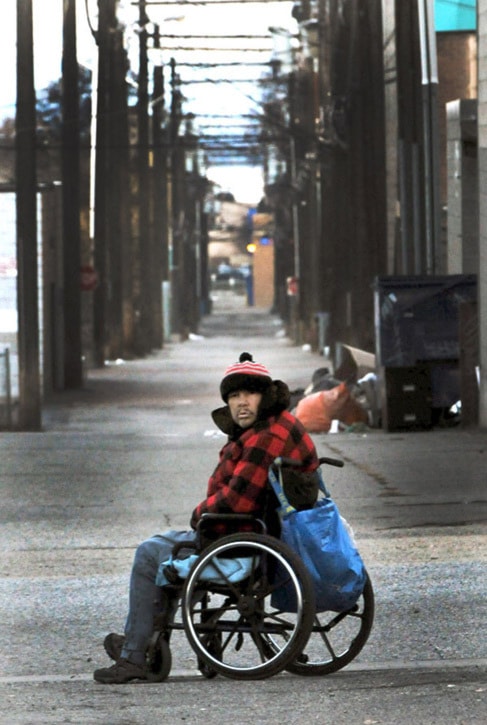
Winter is now upon the South Okanagan and while it is predicted to be a mild one, the B.C. government announced 10 extreme weather shelter spaces in Penticton for those with nowhere to stay.
The spaces are available until March 31, 2016 as extreme weather alerts are issued in Penticton and will be available at the Compass House.
“Volunteers in our community work hard to ensure that temporary shelter is available to protect homeless people during the most extreme weather,” said Dan Ashton, Penticton MLA, in a press release. “We can’t predict when bitterly cold weather will hit the South Okanagan, but we can be prepared.”
Communities decide individually what weather conditions warrant an alert and how many spaces to activate on a given night, dependant on the capacity of existing shelters and estimated need.
Thankfully, with El Nino on the way and the large mass of warm water in the Pacific breaking up, southern B.C. could be in for a warm, mild winter.
The two major factors leading to the well above-normal temperatures predicted by the AccuWeather Global Weather Centre are the breakdown of the Pacific Decadal Oscillation, more affectionately referred to as the “blob” of warm water in the Pacific Ocean off the coast of B.C., as well as El Nino, a ribbon of warm water that runs along the equator.
Lisa Coldwells, meteorologist with Environment Canada, said that last winter’s drier, stagnant air was due to the blob, which is now breaking up in the Pacific Ocean.
“We didn’t get a lot of precipitation last year, it was drier. That was last year, now we’re beginning to see something totally different, the blob is beginning to break up, so it’s really not going to be a big weather player for this upcoming winter,” Coldwells said. “This upcoming winter is going to be all about El Nino.”
El Nino occurs every four to seven years, with the last El Nino of note occurring in the winter of 2010. The strongest El Nino on record, though they have only been measured for the last 60 years, was the winter of 1997/98. Low pressure fronts will most likely push storms to the north coast of B.C.
“(The north coast) is going to see the main weather systems and the bulk of the rain and it’s going to skip over the mountains and go sort of north of Prince George,” Coldwells said.
That won’t keep El Nino systems completely out of southern B.C. However, with weather patterns shifting north, likely causing warmer than normal temperatures. The overall temperature, the average of every high and low temperature recorded throughout the winter, is expected to be higher than normal by one or two degrees Celsius, however that doesn’t leave south B.C. in the free and clear.
“That doesn’t preclude that you are not going to see some arctic air come through because that’s a short-lived sort of situation. It doesn’t mean that there’s not going to be some rainstorms coming through, and you’re going to get some snow like in January,” Coldwells said. “You’re still going to see these normal or regular weather situations happen, but on the overall pattern, at the end of the winter, we will probably be able to say it was slightly warmer than normal, about one to two degrees.”