Think it’s time to put away your winter coat for the season?
Not so fast, experts warn.
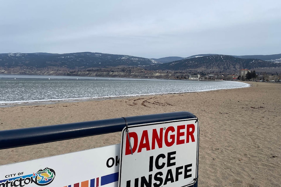
Following a drier-than-normal January and mild start to February where temperatures reached highs of close to 8 C in Kelowna, Vernon and Penticton, meteorologists say a change for cold across B.C.’s Interior is likely as early as Tuesday, Feb. 21.
“We’ve got another arctic outbreak coming, starting either Tuesday or Wednesday of next week,” said Trevor Smith, a meteorologist at Environment and Climate Change Canada.
“It looks like it could stay pretty cold through the rest of the month after that…like 5 to 10 C below average.”
While Vernon only experienced 58 per cent of its normal precipitation mark for January, Penticton and Kelowna saw just 48 and 50 per cent of its average, respectively.
But it wasn’t just a drier-than-normal first month of 2023.
Temperatures were also above average, with the three Okanagan cities all hitting daily averages about 1 C above their normal marks. Last month marked the 20th warmest January in Penticton’s history, Smith added.
Winter’s mild trend continued through the first two weeks of February, with Penticton seeing an average of 2 C, as of Feb. 14.
Both Kelowna and Vernon have recorded a mean temperature of 0.3 C this month, nearly one degree above their all-time averages.
“In a typical February, you usually see those temperatures near the end of the month because the sun gets stronger and you have more solar heating,” said Smith. “But now, it looks like the opposite and we’re going to go in the other direction towards the end of the month this year.”
Along with next week’s anticipated arctic outbreak, Smith says that people in the Okanagan can also expect higher levels of precipitation.
“There is a change coming next week, for sure,” the meteorologist said. “With the initial shot of cold air that comes down, we usually do get some snow.”
Don’t be surprised if the colder-than-normal trend continues through the start of March, Smith said.
“We’ve been in the La Nina phase for the last three winters, so that typically favours a longer winter and a slow lingering into early spring,” he added.
READ MORE: ‘Freezing fog’ takes over Penticton sky