Forecasters are anxiously awaiting next week’s release of fresh data on the B.C. snowpack.
The last survey, compiled March 1, showed this winter’s accumulation in the Okanagan and elsewhere is within the normal range, but with a few exceptions.
“What were seeing province-wide is it’s been more or less a near-normal season,” said David Campbell, head of the B.C. River Forecast Centre, which monitors the snowpack via dozens of sensors in the back country.
Campbell said snowpack throughout B.C. averaged between 90 and 110 per cent of normal as of March 1, although accumulations on the rain shadow side of the Coast Mountains were in the 80 to 90 per cent range, while some areas on the east side of the Okanagan Lake basin nudged up to the 115 per cent mark.
One notable exception is Mount Kobau, where the snow depth was measured at 121 centimetres, or 173 per cent of normal.
“That’s anomalous for the region,” Campbell said. “More or less were finding the Similkameen is a little dry.”
He said that high reading “may have ramifications for local areas in and around Kobau” once the spring melt begins.
Heavy snow on Mount Kobau, which straddles the Okanagan and Similkameen regions west of Osoyoos, in late December downed power lines and created problems for emergency radio equipment on the hill.
By March 1, the province has typically seen about 80 per cent of the winter’s snow accumulation, but the April 1 survey “is the one that we look at the most closely,” Campbell said, because “typically we’re quite near the peak of accumulation season.”
Forecasters such as himself combine the data with weather information to provide warnings and forecasts for the spring freshet.
“The snow part of it is one piece of the seasonal risk. Having more snow on the ground does mean there’s more water that’s going to come down during the melt. So that inherently does increase the risk when we do have higher snowpacks,” Campbell said.
“Now whether or not we actually see flooding, which becomes really the hard part predictively, really depends on how that snow melts and what the other weather factors are during that melt period.”
Campbell said the mid-term weather forecasts he’s seen have predicted a cool, wet spring, although such projections are still “a little speculative.”
Dale Kronebusch, emergency services supervisor for the Regional District of Okanagan-Similkameen, is already keeping an eye on the Willowbrook area west of Oliver.
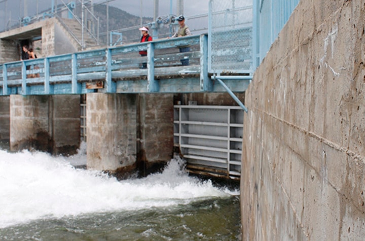
He said a weir at Sawmill Lake had water running over it last week, even though the lake itself was still covered with ice.
“It seemed to be the low-level snow melt with the couple of 18-degree days we had two or three weeks ago. That hasn’t even stopped or slowed down yet,” he said.
Kronebusch is also worried that the region’s aquifers and reservoirs are already topped up and that may mean limited storage capacity for the spring freshet.